- Data Basin |
- Use Cases |
- Sea Level Rise (SLR) Data Platform
Sea Level Rise (SLR) Data Platform
Explore related items…
Technical tools and future scenarios to support understanding of coastal impacts in Gulf of Mexico region
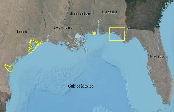
The Sea Level Rise (SLR) Portal provides a series of technical tools and future scenarios to support the practical understanding of coastal impacts and changing landscapes in the Gulf of Mexico region. Global climate change and its effects on sea level rise are a major concern in countries around the world that occupy low lying coastal areas. The rise in global mean sea level will require many island and coastal communities to adapt to the changing shoreline and cumulative loss of coastal habitat. The loss of habitat, including land subsidence, erosion, submersion of wetlands and the contamination of agricultural lands and fresh water aquifers as well as the loss of vital and valuable habitat for plants and animals requires new public policy and resource management to allow for climate change adaptation planning.
The SLR Portal was conceived as an integrated team effort funded by the Gulf of Mexico Alliance and developed by The Nature Conservancy. It constitutes a partnership with several organizations along the Gulf of Mexico Large Marine Ecosystem, stakeholders, academic groups and volunteers including the Gulf of Mexico Foundation and the Mississippi Department of Marine Resources.
The SLR Portal provides data, science-based scenarios and tools to help state and federal governments, natural resource managers and community planners create more resilient coastal communities and salt marsh habitat. The SLR Portal contains technical tools and future scenarios from analysis that support the practical understanding of impacts to marshes. This includes an assessment of the capacity of marshes to migrate and the impacts to human coastal communities that may result from SLR and related climate hazards, including storm surge, in the Gulf of Mexico region. The SLAMM-based (sea level affecting marshes model) scenario-based assessments of natural infrastructure provide regional management data, models and synthesis products to inform policy and resource decisions. In addition to providing GIS layers for download and tools to map the information, the SLR Portal data platform also provides access to geoPDF images of each scenario and final reports for each project site and analysis type.
The research focuses around three spatial modeling efforts, which include:
A) Sea Level Affecting Marsh Models (SLAMM) – SLAMM is a spatial computer model that uses historical and current wetland data with elevation datasets to predict tidal marsh migration and/or transformation under future SLR conditions. The SLAMM model accounts for the dominant processes involved in wetland conversion and shoreline modifications during long-term SLR. This model is used to predict changes in tidal marsh area and habitat type in response to various SLR future scenarios.
B) Storm Surge Modeling – Storm surge was modeled using ADCIRC, a physics-based model that was selected because it is a highly vetted and commonly utilized storm surge analysis model that is the standard coastal storm surge model used by the U.S. Army Corps of Engineers (USACE) and the Federal Emergency Management Agency (FEMA).
C) Coastal Conservation and Resiliency Analysis – These indicator based analyses, based on the Coastal Resilience framework developed by The Nature Conservancy, provide estimates of potential impacts of SLR and storm surge to human communities and natural habitats, providing additional tools to help improve the resiliency of coastal communities in the event of SLR or storm related impacts.
To learn more about this effort, you can visit the SLR Portal. To use Data Basin to explore a sample of the datasets, maps, and galleries associated with this research, click on the "Explore related items" link above.
- Citation
- Jorge Brenner. 2014. Sea Level Rise (SLR) Data Platform. In: Data Basin. [First published in Data Basin on Mar 28, 2014; Last Modified on Apr 1, 2014; Retrieved on Apr 19, 2024] <https://databasin.org/articles/511bb1a6a2d84d0f933dd1087fa08a40/>
About the Author
I am a marine scientist focusing primarily in conservation of biodiversity and ecosystem services. I use largely Geographic Information Systems-based tools to inform decision-making in conservation. I have experience working in coastal and marine ecology, conservation and sustainability in the Gulf...