- Data Basin |
- Datasets |
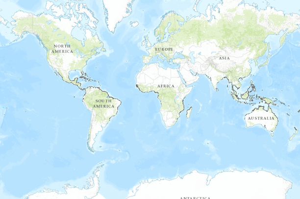
- Global Mangrove Distribution (USGS)
Global Mangrove Distribution (USGS)
Oct 23, 2013
Uploaded by
Heidi Hausman
- Description:
- Status and distributions of global mangroves have been mapped using recently available Global Land Survey (GLS) data and the Landsat archive. Approximately 1000 Landsat scenes were interpreted using hybrid supervised and unsupervised digital image classifcation techniques. Each image was normalized for variation in solar angle and earth-sun distance by converting the digital number values to the top-of-the-atmosphere reflectance. Ground truth data and existing maps and databases were used to select training samples and also for iterative labelling. Results were validated using existing GIS data and the published literature to map ‘true mangroves’.
- Data Provided By:
- US Geological Survey (USGS)
- Content date:
- 1997, 2000
- Citation:
-
http://onlinelibrary.wiley.com/doi/10.1111/j.1466-8238.2010.00584.x/pdf
C. Giri [1]*, E. Ochieng [2], L. L. Tieszen [3], Z. Zhu [4], A. Singh [5], T. Loveland [3], J. Masek [6] and N. Duke [7]
[1] ARSC Research and Technology Solutions, contractor to US Geological Survey (USGS) Earth Resources Observation and Science Center (EROS), Sioux Falls, SD 57198, USA,
[2] United Nations Environment Programme, United Nations Avenue, Gigiri, PO Box 30552, 00100, Nairobi, Kenya,
[3] US Geological Survey, Earth Resources Observation and Science Center (EROS), Sioux Falls, SD 57198, USA,
[4] US Geological Survey, Reston, VA 20192, USA,
[5] United Nations Environment Programme, Washington, DC 20006, USA,
[6] Goddard Space Flight Center, National Aeronautics and Space Administration, Greenbelt, MD 20771, USA,
[7] Centre for Marine Studies, Marine Botany Group, c/-Gehrmann Building (60), Level 8, The University of Queensland, Brisbane, QLD
4072, Australia
- Contact Organization:
- US Geological Survey (USGS)
- Contact Person(s):
- Use Constraints:
- 1) Adhere to terms and conditions of access, 2) acknowledge the source appropriately, 3) do not re-distribute part or all of data without contacting UNEP-WCMC.
- Layer:
- Layer Type:
- Currently Visible Layer:
- All Layer Options:
- Layers in this dataset are based on combinations of the following options. You may choose from these options to select a specific layer on the map page.
- Description:
- Spatial Resolution:
- Credits:
- Citation:
- Purpose:
- Methods:
- References:
- Other Information:
- Time Period:
- Layer Accuracy:
- Attribute Accuracy:
FGDC Standard Metadata XML
Click here to see the full FGDC XML file that was created in Data Basin for this layer.
Original Metadata XML
Click here to see the full XML file that was originally uploaded with this layer.
This dataset is visible to everyone
- Dataset Type:
-
Layer Package
Downloaded by
266 Members
Bookmarked by
16 Members
,
1 Group
Included in
3 Public Maps
,
4 Private Maps
Included in
2 Public Galleries