- Data Basin |
- Use Cases
Use Cases
Analyzing and interpreting spatial information.
Sea Level Rise (SLR) Data Platform
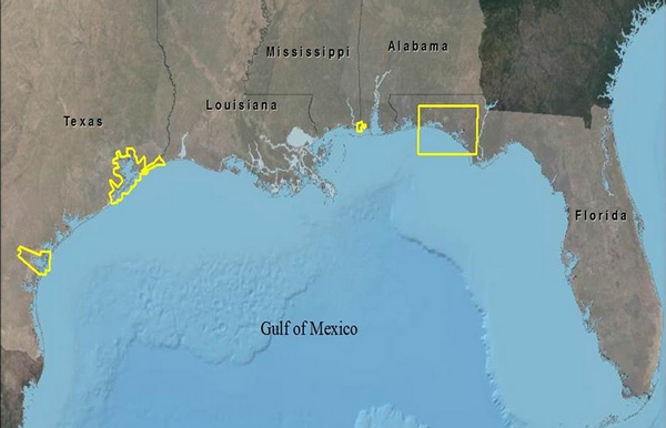
Technical tools and future scenarios to support understanding of coastal impacts in Gulf of Mexico region
The Sea Level Rise (SLR) Portal provides a series of technical tools and future scenarios to support the practical understanding of coastal impacts and changing landscapes in the Gulf of Mexico region. Global climate change and its effects on sea level rise are a major concern in countries around the world that occupy low lying coastal areas. The rise in global mean sea level will require many island and coastal communities to adapt to the changing shoreline and cumulative loss of coastal habitat. The loss of habitat, including land subsidence, erosion, submersion of wetlands and the...