- Data Basin |
- Maps
Maps
Member created maps of spatial information.
Recommended Maps

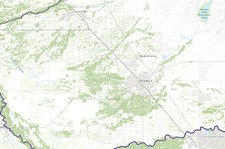
San Joaquin Valley Project Prioritization Tool
Welcome to the San Joaquin Valley Project Prioritization Tool!
Here you can view the layers in the map by clicking on the Layers tab.
There you can turn layers on and off, set transparency, filter and change the symbology.
Please see the Quick Start Guide and the Project Prioritization Manual to get started.
The Gallery portion of the tool includes other relevant datasets that you can navigate to by selecting Add Datasets in the Layers tab and searching for San Joaquin Valley Project...
Popular Maps
- Find an interesting map for your area

