- Data Basin |
- Datasets |
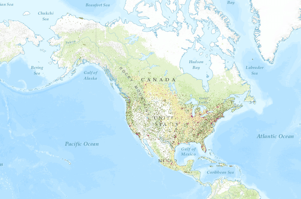
- Human Modification for North America
Human Modification for North America
Jan 8, 2016
Uploaded by
David Theobald
- Description:
- Technical documentation:
Human Modification for North America transboundary study area
David M. Theobald, PhD
The purpose of this document is to briefly describe datasets used to generate the human modification dataset for the transboundary study area (HM-T) of Canada, Mexico, and US. Much of the approach and technical details are described in: Theobald, DM. 2013. A general model to quantify ecological integrity for landscape assessments and US application. Landscape Ecology DOI 10.1007/s10980-013-9941-6.
There are three important elements that define the HM approach: (a) the human modification stressors and their data sources (b) the measurement unit used for each stressor, and (c) the method used to combine the effects of multiple stressors into an overall score of human modification.
Combining layers of stressors: The HMT model is designed to provide a comprehensive, but parsimonious approach, that uses several stressor/threats datasets to estimate level of human modification. The way in which these various data layers are combined into a single index is quite important. Because we have not tested in a rigorous way for collinearity between stressors, we use a method that minimizes bias associated with non-independence among several stressor/threats layers (Theobald 2013). The HMT model assumes the contribution of a given threat decreases as values from other threats overlap. Locations with multiple threats will have a higher human modification value that locations with just a single threat (assuming the same value), but the cumulative human modification score converges to 1.0 as multiple human impact data layers are added. Individual factors were combined across multiple data layers using an increasive function (Theobald 2013).
This information and more is available as a word document contained within the downloadable layer package hosted on Data Basin.
- Data Provided By:
- David M. Theobald
- Content date:
- not specified
- Spatial Resolution:
- 270 meters
- Contact Organization:
-
Conservation Science Partners, Inc.
www.csp-inc.org
- Contact Person(s):
- Use Constraints:
 This work is licensed under a Creative Commons Attribution-NonCommercial 3.0 License.
- Layer:
- Layer Type:
- Currently Visible Layer:
- All Layer Options:
- Layers in this dataset are based on combinations of the following options. You may choose from these options to select a specific layer on the map page.
- Description:
- Spatial Resolution:
- Credits:
- Citation:
- Purpose:
- Methods:
- References:
- Other Information:
- Time Period:
- Layer Accuracy:
- Attribute Accuracy:
FGDC Standard Metadata XML
Click here to see the full FGDC XML file that was created in Data Basin for this layer.
Original Metadata XML
Click here to see the full XML file that was originally uploaded with this layer.
This dataset is visible to everyone
- Dataset Type:
-
Layer Package
Downloaded by
122 Members
Bookmarked by
9 Members
,
4 Groups
Included in
1 Public Map
,
2 Private Maps