- Data Basin |
- Datasets |
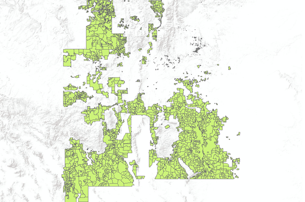
- Bureau of Land Management (BLM) Grazing Allotments in New Mexico
Bureau of Land Management (BLM) Grazing Allotments in New Mexico
Mar 9, 2011
(Last modified May 12, 2011)
Uploaded by
Conservation Biology Institute
- Description:
- This data has been collected by the U.S. Bureau of Land Management (BLM) in New Mexico at both the New Mexico State Office and the various field offices. Collection began in the 1980's using the BLM's ADS software to digitize data m the original case files. In the mid to late 1990's the data was converted from ADS to ArcInfo software. Collection continued into the 1990s and has been updated regularly until June 2000 when it was merged into a statewide coverage.
In this edition, all updates were made in the area managed by the Carlsbad Field Office. Allotments not included in the first edition were added using on-screen digitizing from case file maps at various scales. Corrections were also made to many allotment boundaries where overlaps and gaps had previously been shown.
- Data Provided By:
- Bureau of Land Management - New Mexico State Office
- Content date:
- 2000
- Contact Organization:
- Bureau of Land Management - New Mexico State Office
- Contact Person(s):
- Use Constraints:
- No warranty is made by the Bureau of Land Management as to the accuracy, reliability, or completeness of these data for individual use or aggregate use with other data, or for purposes not intended by BLM. Spatial information may not meet National Map Accuracy Standards. This information may be updated without notification.
- Layer:
- Layer Type:
- Currently Visible Layer:
- All Layer Options:
- Layers in this dataset are based on combinations of the following options. You may choose from these options to select a specific layer on the map page.
- Description:
- Spatial Resolution:
- Credits:
- Citation:
- Purpose:
- Methods:
- References:
- Other Information:
- Time Period:
- Layer Accuracy:
- Attribute Accuracy:
FGDC Standard Metadata XML
Click here to see the full FGDC XML file that was created in Data Basin for this layer.
Original Metadata XML
Click here to see the full XML file that was originally uploaded with this layer.
This dataset is visible to everyone
- Dataset Type:
-
Layer Package
Downloaded by
24 Members
Bookmarked by
2 Members
Included in
6 Private Maps
Included in
1 Public Gallery
,
1 Private Gallery
About the Uploader
Conservation Biology Institute
We provide advanced conservation science, technology, and planning to empower our partners in solving the world’s critical ecological challenges