- Data Basin |
- Datasets |
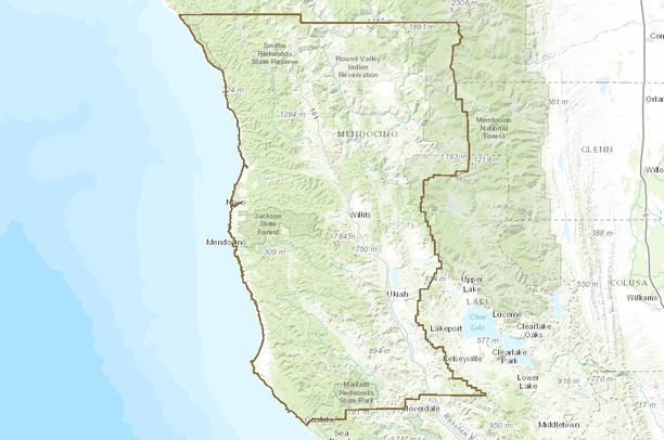
- Mendocino County Boundary
Mendocino County Boundary
Oct 23, 2014
Uploaded by
John Gallo
- Description:
- In late 1996, the Dept of Conservation (DOC) surveyed state and federal agencies about the county boundary coverage they used. As a result, DOC adopted the 1:24, 000 scale Bureau of Reclamation dataset (USGS source) for their Farmland Mapping and Monitoring Program (FMMP) but with several major and minor modifications. Detailed documentation of these changes is provided by FMMP and included as part of the data dictionary.
- Data Provided By:
- California Department of Forestry and Fire Protection (using data from BOR and DOC FMMP)
- Content date:
- 1/1/1997 - 12/31/1997
- Contact Organization:
- CDF - FRAP
- Contact Person(s):
-
- FRAP data librarian
- Use Constraints:
- FRAP disclaimer Read disclaimer within data dictionary supplied when data are downloaded from FRAP site
- Layer:
- Layer Type:
- Currently Visible Layer:
- All Layer Options:
- Layers in this dataset are based on combinations of the following options. You may choose from these options to select a specific layer on the map page.
- Description:
- Spatial Resolution:
- Credits:
- Citation:
- Purpose:
- Methods:
- References:
- Other Information:
- Time Period:
- Layer Accuracy:
- Attribute Accuracy:
FGDC Standard Metadata XML
Click here to see the full FGDC XML file that was created in Data Basin for this layer.
Original Metadata XML
Click here to see the full XML file that was originally uploaded with this layer.
This dataset is visible to everyone
- Dataset Type:
-
Layer Package
Downloaded by
17 Members
Bookmarked by
1 Group
Included in
3 Public Maps
About the Uploader
John Gallo
Senior Scientist with Conservation Biology Institute
Dr. Gallo is an applied scientist with emphases in conservation GIS, decision support systems, and public participation in conservation planning and management, including citizen science. He started his career as an ecologist surveying for endangered species, developing habitat relationship models,...