- Data Basin |
- Datasets |
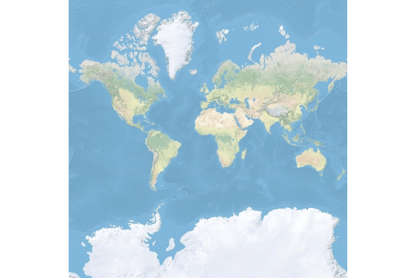
- USA Topographic Map
USA Topographic Map
Jan 11, 2012
Uploaded by
Matthew Clark
This map service has been modified since it was imported
- Description:
- This map presents land cover imagery for the world and detailed topographic maps for the United States. The map includes the National Park Service (NPS) Natural Earth physical map at 1.24km per pixel for the world at small scales, i-cubed eTOPO 1:250,000-scale maps for the contiguous United States at medium scales, and National Geographic TOPO! 1:100,000 and 1:24,000-scale maps (1:250,000 and 1:63,000 in Alaska) for the United States at large scales. The TOPO! maps are seamless, scanned images of United States Geological Survey (USGS) paper topographic maps. For more information on this map, visit us online .
- Data Provided By:
- Copyright:© 2011 National Geographic Society, i-cubed
- Content date:
- not specified
- Contact Organization:
-
National Geographic Society
- Contact Person(s):
- not specified
- Use Constraints:
- Copyright:© 2011 National Geographic Society, i-cubed
- Layer:
- Layer Type:
- Currently Visible Layer:
- All Layer Options:
- Layers in this dataset are based on combinations of the following options. You may choose from these options to select a specific layer on the map page.
- Description:
- Spatial Resolution:
- Credits:
- Citation:
- Purpose:
- Methods:
- References:
- Other Information:
- Time Period:
- Layer Accuracy:
- Attribute Accuracy:
FGDC Standard Metadata XML
Click here to see the full FGDC XML file that was created in Data Basin for this layer.
Original Metadata XML
Click here to see the full XML file that was originally uploaded with this layer.
This dataset is visible to everyone
- Dataset Type:
-
External Map Service (ArcGIS)
Bookmarked by
4 Members
,
1 Group
Included in
3 Public Maps
,
17 Private Maps
About the Uploader
Matthew Clark
Contractor with Trout Unlimited
Coordinate TU's efforts in the Dolores River Basin and surrounding areas in SW Colorado.