- Data Basin |
- Datasets |
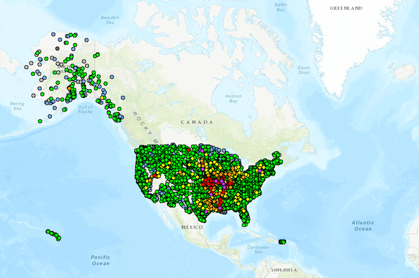
- NOAA - National Weather Service Current and Forecast River Stages
NOAA - National Weather Service Current and Forecast River Stages
Aug 30, 2012
(Last modified Jun 26, 2019)
Uploaded by
Conservation Biology Institute
- Description:
- River Gauge current stages and forecasted river stages out to 336 hours
- Data Provided By:
- National Weather Service
- Map Service URL:
- https://idpgis.ncep.noaa.gov/arcgis/rest/services/NWS_Observations/ahps_riv_gauges/MapServer/
- Content date:
- not specified
- Contact Organization:
- not specified
- Contact Person(s):
- Use Constraints:
- National Weather Service
- Layer:
- Layer Type:
- Currently Visible Layer:
- All Layer Options:
- Layers in this dataset are based on combinations of the following options. You may choose from these options to select a specific layer on the map page.
- Description:
- Spatial Resolution:
- Credits:
- Citation:
- Purpose:
- Methods:
- References:
- Other Information:
- Time Period:
- Layer Accuracy:
- Attribute Accuracy:
FGDC Standard Metadata XML
Click here to see the full FGDC XML file that was created in Data Basin for this layer.
Original Metadata XML
Click here to see the full XML file that was originally uploaded with this layer.
This dataset is visible to everyone
- Dataset Type:
-
External Map Service (ArcGIS)
Included in
1 Public Gallery
About the Uploader
Conservation Biology Institute
We provide advanced conservation science, technology, and planning to empower our partners in solving the world’s critical ecological challenges