- Data Basin |
- Datasets |
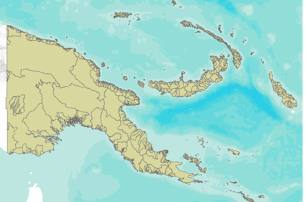
- Watershed Basins of Papua New Guinea
Watershed Basins of Papua New Guinea
Jan 14, 2011
(Last modified May 15, 2011)
Uploaded by
World Resources Institute
- Description:
- Used in the national level analysis of the Mining and Critical Ecosystems project for the country of Papua New Guinea.
- Data Provided By:
- World Resources Institute
- Content date:
- not specified
- Citation:
- Online Linkages:
- Contact Organization:
- World Resources Institute
- Contact Person(s):
- Use Constraints:
- Data set is not for use in litigation. While efforts have been made to ensure that these data are accurate and reliable within the state of the art, WRI, cannot assume liability for any damages, or misrepresentations, caused by any inaccuracies in the data, or as a result of the data to be used on a particular system. WRI makes no warranty, expressed or implied, nor does the fact of distribution constitute such a warranty.
- Layer:
- Layer Type:
- Currently Visible Layer:
- All Layer Options:
- Layers in this dataset are based on combinations of the following options. You may choose from these options to select a specific layer on the map page.
- Description:
- Spatial Resolution:
- Credits:
- Citation:
- Purpose:
- Methods:
- References:
- Other Information:
- Time Period:
- Layer Accuracy:
- Attribute Accuracy:
FGDC Standard Metadata XML
Click here to see the full FGDC XML file that was created in Data Basin for this layer.
Original Metadata XML
Click here to see the full XML file that was originally uploaded with this layer.
This dataset is visible to everyone
- Dataset Type:
-
Layer Package
Downloaded by
45 Members
Bookmarked by
2 Members
,
1 Group
About the Uploader
World Resources Institute
GIS Group
The World Resources Institute is a global environmental think tank that goes beyond research to put ideas into action. We work with governments, companies, and civil society to build solutions to urgent environmental challenges. WRI’s transformative ideas protect the earth and promote development...