- Data Basin |
- Datasets |
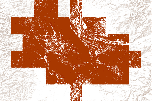
- 10 foot contours of the Portland, OR metro area
10 foot contours of the Portland, OR metro area
Jan 24, 2011
(Last modified May 15, 2011)
Uploaded by
Conservation Biology Institute
- Description:
- Elevation lines from United States Geological Survey (USGS) 7.5 minute quadrangle maps. Contour interval is 10, 20 or 40 feet, depending on quad. As additional quads become available from USGS, the map extent will be expanded.
- Data Provided By:
- United States Geological Survey (USGS)
- Content date:
- not specified
- Contact Organization:
- not specified
- Contact Person(s):
- Use Constraints:
 This work is licensed under a Creative Commons Attribution 3.0 License.
- Layer:
- Layer Type:
- Currently Visible Layer:
- All Layer Options:
- Layers in this dataset are based on combinations of the following options. You may choose from these options to select a specific layer on the map page.
- Description:
- Spatial Resolution:
- Credits:
- Citation:
- Purpose:
- Methods:
- References:
- Other Information:
- Time Period:
- Layer Accuracy:
- Attribute Accuracy:
FGDC Standard Metadata XML
Click here to see the full FGDC XML file that was created in Data Basin for this layer.
Original Metadata XML
Click here to see the full XML file that was originally uploaded with this layer.
This dataset is visible to everyone
- Dataset Type:
-
Layer Package
Downloaded by
47 Members
Bookmarked by
1 Member
,
2 Groups
Included in
4 Public Maps
,
13 Private Maps
About the Uploader
Conservation Biology Institute
We provide advanced conservation science, technology, and planning to empower our partners in solving the world’s critical ecological challenges