- Data Basin |
- Galleries |
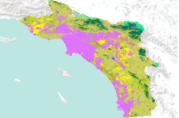
- California Land use / Land cover
California Land use / Land cover
Jan 18, 2016
Created by
Conservation Biology Institute
About
Collection of datasets pertaining to land use and land cover in California.
This gallery is visible to everyone
Gallery contains
- 4 Folders
- 24 Datasets
- Usage
- Bookmarked by 4 Members , 2 Groups
Assembled by the Conservation Biology Institute
About the Gallery Author
Conservation Biology Institute
We provide advanced conservation science, technology, and planning to empower our partners in solving the world’s critical ecological challenges