- Data Basin |
- Galleries |
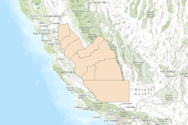
- Administrative Boundaries of the San Joaquin Valley, California
Administrative Boundaries of the San Joaquin Valley, California
Jun 9, 2015
Created by
Conservation Biology Institute
About
Administrative boundaries include available datasets on county, city, and watershed boundaries.
This gallery is visible to everyone
Gallery contains
- 3 Folders
- 8 Datasets
Created by Katie O'Conno of Conservation Biology Institute
See individual datasets for credits
About the Gallery Author
Conservation Biology Institute
We provide advanced conservation science, technology, and planning to empower our partners in solving the world’s critical ecological challenges