- Data Basin |
- Groups |
- White Mountains to Moosehead Lake Initiative
White Mountains to Moosehead Lake Initiative
Apr 27, 2012
(Last modified May 18, 2015)
Created by
Brenda Faber

About
Western Maine and Eastern New Hampshire contain
exceptionally productive and large blocks of working forest, famed waterways
and wetland complexes, and some of New England’s
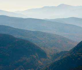
most dramatic high elevation ridgelines and mountain peaks. The region is critical for the forest
products industry and the hub of inland recreation and tourism in Maine. The proposed study area for this project
encompasses the Upper Androscoggin River,
Mahoosuc Mountains
and Lake Umbagog,
the Rangeley Lakes,
ten of Maine’s fourteen 4,000-foot peaks, 145
miles of the Appalachian Trail, vast working
forest, and numerous rare species. The
region’s world-class recreational opportunities – be it backpacking the A.T.,
skiing Sugarloaf and Sunday River, fishing the Sandy
River, snowmobiling or ATVing endless
miles of woods trails, hunting vast tracts of forest, or paddling the Rangeley Lakes – define the way of life and
quality of place. In fact, these
qualities justify why the Northern Forest was recently identified as one of the
five Focus Landscapes in President Obama’s America’s Great Outdoors
Initiative.
30 members working with:
- 86 Datasets
- 18 Maps

