- Data Basin |
- Maps |
- HJ Andrews: modeled hydrology comparisons
HJ Andrews: modeled hydrology comparisons
Jul 27, 2011
(Last modified Aug 4, 2011)
Created by
Jeremiah Osborne-Gowey

- Description
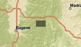
- Map of modeled hydrology on the HJ Andrews forest from various models.
- Location
- Credits
- Jeremiah Osborne-Gowey
- Use Constraints
 This work is licensed under a Creative Commons Attribution 3.0 License.
This map is visible to everyone
Bookmarked by
1 Group
About the Map Author
Jeremiah Osborne-Gowey
Aquatic/Landscape Ecologist with Conservation Biology Institute
Jeremiah Osborne-Gowey is an aquatic/landscape ecologist with more than 15 years of Federal, State, and educational natural resource experience. His experience includes aquatic and terrestrial species habitat survey and inventory, invasive-species monitoring, natural resource impact analyses, public...