- Data Basin |
- Maps |
- MIddle Fork Willamette River
MIddle Fork Willamette River
May 3, 2011
(Last modified May 10, 2011)
Created by
Wendy Peterman

- Description
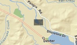
- This is an aerial photo of the Middle Fork Willamette River as it flows through Elijah Bristow Sate Park in Oregon, USA.
- Location
- Credits
- Wendy Peterman
- Use Constraints
 This work is licensed under a Creative Commons Attribution 3.0 License.
This map is visible to everyone
About the Map Author
Wendy Peterman
Soil Scientist with US Forest Service
I am a soil scientist for the Forest Service. I analyze soils for past, present and future disturbance from humans and recommend mitigation and/or restoration measures to maintain soil productivity and water quality on public lands in Oregon.