- Data Basin |
- Maps |
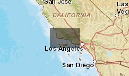
- MSSC imagery base map
MSSC imagery base map
Jan 14, 2011
Created by
Wayne D. Spencer

- Description
- Imagery base map for California MSSC showing protected areas and ecological subsections.
- Location
- Credits
- Wayne D. Spencer
- Use Constraints
 This work is licensed under a Creative Commons Attribution 3.0 License.
- This map is based on
-
This map is visible to everyone
About the Map Author
Wayne D. Spencer
Senior Conservation Biologist with Conservation Biology Institute
I am a wildlife conservation biologist that specializes in applying science to conserve biological resources and recover rare species. My field studies have mostly focused on mammals--including carnivores like martens and fishers and desert rodents like pocket mice and kangaroo rats. I’ve prepared...