- Data Basin |
- Maps |
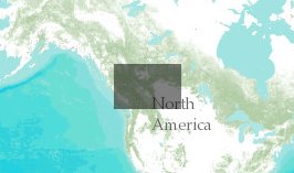
- High Conservation Value in the Alberta Foothills Canada
High Conservation Value in the Alberta Foothills Canada
Apr 3, 2012
Created by
James R. Strittholt

- Description
- This map presents the final results of High Conservation Value Forests (HCVF) mapping for the Alberta Foothills region of Canada. Using fuzzy logic modeling (logic model attached), this study was conducted by the Conservation Biology Institute in 2007 and funded by Limited Brands.
- Location
- Credits
- James R. Strittholt
- Use Constraints
 This work is licensed under a Creative Commons Attribution 3.0 License.
This map is visible to everyone
Bookmarked by
1 Member
About the Map Author
James R. Strittholt
President / Executive Director with Conservation Biology Institute
President and Executive Director of the Conservation Biology Institute founded in 1997. I have over 25 years experience in applying computer mapping technologies (including GIS and remote sensing) to address various ecological assessments and conservation planning projects in the U.S. and...