- Data Basin |
- Maps |
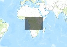
- Democratic Republic of the Congo
Democratic Republic of the Congo
Apr 15, 2013
Created by
James R. Strittholt

- Description
- Map of the Democratic republic of the Congo showing landcover, roads, hydrology, locations of villages, water sources, and parks.
- Location
- Credits
- JR Strittholt
- Use Constraints
 This work is licensed under a Creative Commons Attribution 3.0 License.
This map is visible to everyone
Bookmarked by
1 Member
About the Map Author
James R. Strittholt
President / Executive Director with Conservation Biology Institute
President and Executive Director of the Conservation Biology Institute founded in 1997. I have over 25 years experience in applying computer mapping technologies (including GIS and remote sensing) to address various ecological assessments and conservation planning projects in the U.S. and...