- Data Basin |
- Maps |
- Rogue River -- Stream Temps and Fish
Rogue River -- Stream Temps and Fish
Apr 14, 2014
(Last modified Jul 23, 2015)
Created by
Katie O'Connor

- Description
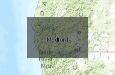
- This map displays areas of high temperatures and fish distributions.
- Location
- Credits
- Katie O'Connor, CBI
- Use Constraints
 This work is licensed under a Creative Commons Attribution 3.0 License.
This map is visible to everyone
Bookmarked by
2 Members
About the Map Author
Katie O'Connor
Freshwater Specialist/GIS Technician with Conservation Biology Institute
I have a background in watershed science, collaboration, data collection, and geospatial data management. I currently work for Conservation Biology Institute as the Freshwater Specialist/GIS Technician.