- Data Basin |
- Maps |
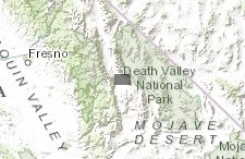
- Ballarat Historic Topographic Map
Ballarat Historic Topographic Map
Dec 23, 2015
(Last modified Feb 2, 2016)
Created by
Inyo County Planning Department

- Description
- Ballarat Historic Topographic 60-min Quadrangle Map (1913)
Scale 1: 250,000
- Location
- Credits
- USGS
- Use Constraints
 This work is licensed under a Creative Commons Attribution 3.0 License.
This map is visible to everyone
Included in
1 Public Gallery
About the Map Author
Inyo County Planning Department
with County of Inyo
The Planning Department is charged with the orderly growth and development of the County while maintaining its quality of life and natural environment. We serve as staff to the Inyo County Planning Commission; administer the County's Zoning, Subdivision, Environmental Review, and Surface Mining...