- Data Basin |
- Maps |
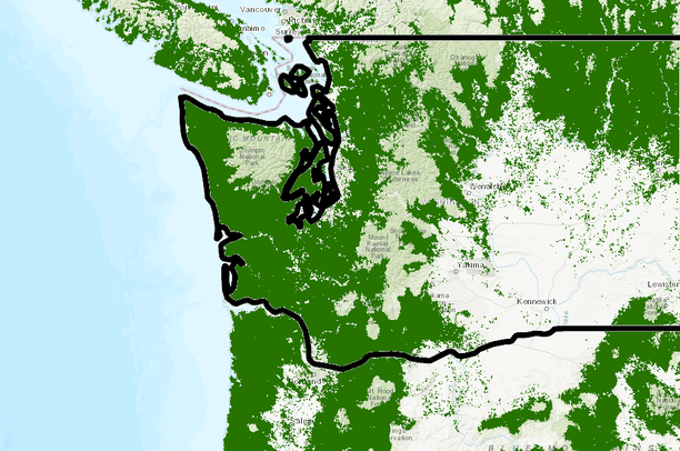
- SNR511 Douglas fir map
SNR511 Douglas fir map
May 12, 2019
Created by
rsamuel volner
- Description
- mapping Douglas fir Washington state
- Location

- Credits
- Oregon State
- Use Constraints
 This work is licensed under a Creative Commons Attribution 3.0 License.
This map is visible to everyone
Bookmarked by
1 Member
About the Map Author
rsamuel volner
with Oregon State University
I am a student at Oregon State University studying Forests and Climate change