- Data Basin |
- Maps |
- Fire Map 2017 fires and FSCs
Fire Map 2017 fires and FSCs
Sep 21, 2020
(Last modified Oct 6, 2020)
Created by
Kyle Burnett

- Description
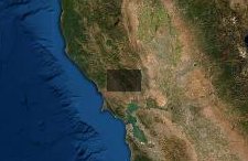
- year of 2017 Fires extent shownFire Safety Councils (FSC) are shaded in green. different shades used for adjacent FSCs to indicate borders.
- Location
- Credits
- TALS
- Use Constraints
 This work is licensed under a Creative Commons Attribution 3.0 License.
This map is visible to everyone
About the Map Author
Kyle Burnett
Program Analyst with Taking Action for Living Systems
MA in Environment Policy with a specialization in Ocean and Coastal Resource MGMT, have BA in Journalism, Broadcast and Documentary, plus experience working in TV, Video, and have taught English as a Second Language and am a published author and musician. For Taking Action for Living Systems I will...