- Data Basin |
- Maps |
- Connectivity Priorities for the NPS National Capital Region
Connectivity Priorities for the NPS National Capital Region
Apr 26, 2018
(Last modified Apr 27, 2018)
Created by
Regan Smyth

- Description
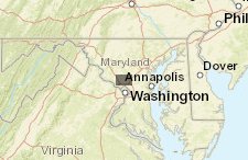
- This map displays connectivity priority areas identified for National Park Service National Capital Region Parks based on an analysis of climate change vulnerability, local connectivity, and potential for supporting adaptation.`For more information, please view the webinar available here:https://tranxfer.natureserve.org/download/Longterm/NCR Climate Change/Connectivity Webinar
- Location
- Credits
- NatureServe 2018
- Use Constraints
 This work is licensed under a Creative Commons Attribution 3.0 License.
This map is visible to everyone
Included in
1 Public Gallery
About the Map Author
Regan Smyth
Landscape Ecologist with NatureServe
Regan Smyth is Director of Spatial Analysis at NatureServe. Regan’s expertise lies in applying spatial analysis tools to address diverse resource management needs and communicating outcomes to scientific and non-scientific audiences via data visualization and mapping. Regan is heavily involved in...