- Data Basin |
- Maps |
- Central Willamette Valley Presettlement Vegetation
Central Willamette Valley Presettlement Vegetation
Jan 9, 2017
Created by
Jonathan Pope
- Description
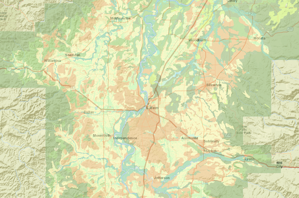
- This selection shows the general patterns of vegetation in the central valley before 1850. Note that Garry Oak Forest predominated to the south and east of Salem, whereas a band of Closed Upland Forest followed the Labish drainage southeast into the area just east of Salem, with Prairies and riparian areas occupying the remaining land.
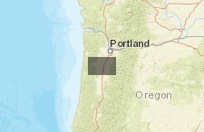
- Location
- Credits
- Jonathan Pope, Data Basin's Willamette Valley Presettlement Vegetation 1850 map.
- Use Constraints
 This work is licensed under a Creative Commons Attribution 3.0 License.
This map is visible to everyone
About the Map Author
Jonathan Pope
Adjunct Instructor in STEM Education with Pacific University, Forest Grove, Oregon
I became interested in GPS and mapping through a class offered by the Oregon Institute of Technology. SInce then I've initiated my own mapping research project on 4 acres near Brooks, Oregon, utilizing ArcMap and ArcPad software, to discover the native plant and animal species utilizing that land....