- Data Basin |
- Galleries |
- California Essential Habitat Connectivity Project
California Essential Habitat Connectivity Project

About
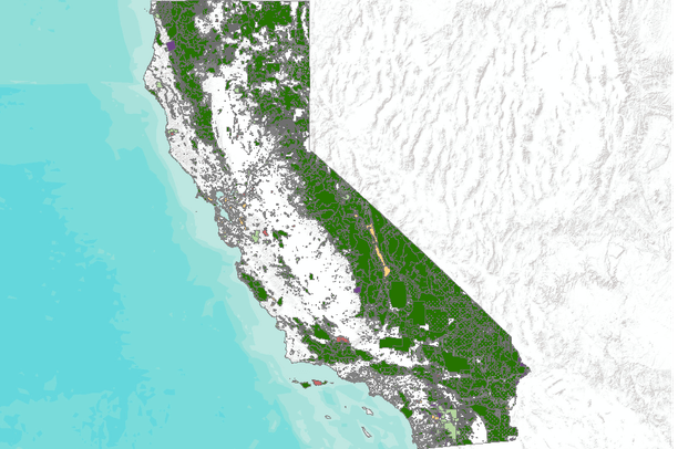
The California Department of Transportation (Caltrans) and California Department of Fish and Game (CDFG) commissioned the California Essential Habitat Connectivity Project because a functional network of connected wildlands is essential to the continued support of California ’s diverse natural communities in the face of human development and climate change. This project, which was reviewed by ~200 people from 62 agencies, is also intended to make transportation and land-use planning more efficient and less costly, while helping reduce dangerous wildlife-vehicle collisions.
This Essential Habitat Connectivity Report includes three primary products: (1) a statewide Essential Habitat Connectivity Map, (2) data characterizing areas delineated on the map, and (3) guidance for mitigating the fragmenting effects of roads and for developing and implementing local and regional connectivity plans. Work was carried out by a consulting team comprised of staff from The Dangermond Group, Conservation Biology Institute, SC Wildlands, and Paul Beier, Ph.D.
This gallery is visible to everyone
Gallery contains
- 1 Folders
- 6 Datasets
- Usage
- Bookmarked by 12 Members , 18 Groups
About the Gallery Author
President and Executive Director of the Conservation Biology Institute founded in 1997. I have over 25 years experience in applying computer mapping technologies (including GIS and remote sensing) to address various ecological assessments and conservation planning projects in the U.S. and...

